Any other questions?
We don’t just answer your questions, we provide solutions!
Contact us
Telephone: 418-654-9652
Fax: 819-523-6617
Monday - Friday
8:00 am - 5:00 pm
Geomatics
Our geomatics department’s highly qualified staff enables us to offer a wide range of geomatics services, integrating multiple criteria in the analysis of a territory’s resources and development solutions.
Areas of expertise
Thematic cartography: including the digitization and vectorization of geometric information, the structuring and input of descriptive data, and the production of coverages that can be translated into a wide variety of exchange formats and cartographic projections;
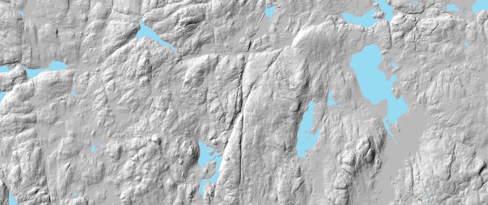
LIDAR data modeling: Tool programming enables LIDAR data to be modeled to create digital elevation models for use in resource access road engineering;
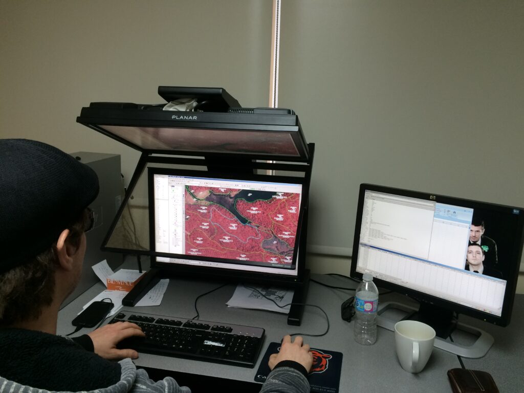
Supply territory analysis: integrating different layers of information combined to produce decision-making tools for the manager, compiling and analyzing georeferenced data, programming editing, data capture, analysis and database management tools;
Production of georeferenced orthophotos: Obtained by assembling rectified and balanced aerial photographs;
Geomatics applied to resource access roads: Drainage basin calculation;
Multispectral remote sensing: using different sources of imagery (aerial photographs, images from various satellites), capture of targeted information, classification of these images according to various themes and conversion of the results into thematic layers that can be integrated into a spatial reference information system (SIRS-GIS). Groupe-Conseil Forchemex staff have access to a wide range of software and tools.


Bureau/Office
1389 avenue Galilée, bureau 205, Québec, G1P 4G4
Téléphone: 418-654-9652
Fax: 819-523-6617
HEURES / HOURS
Lun – Ven 8:00 am – 5:00 pm


